£200
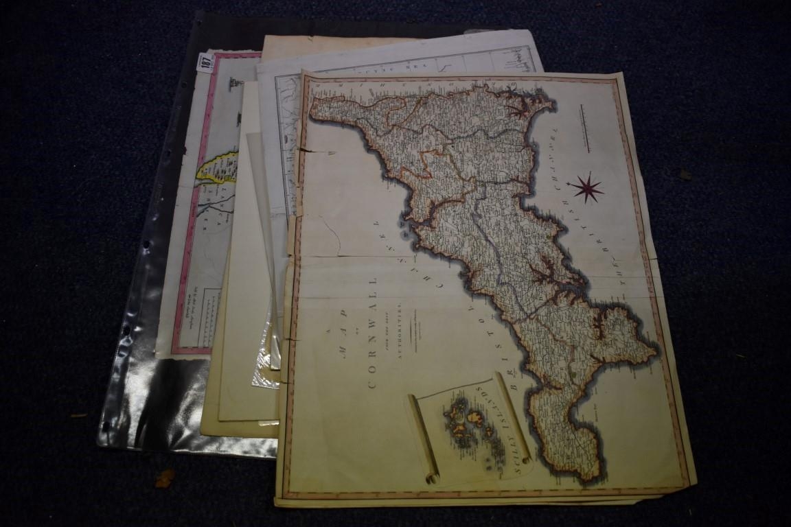
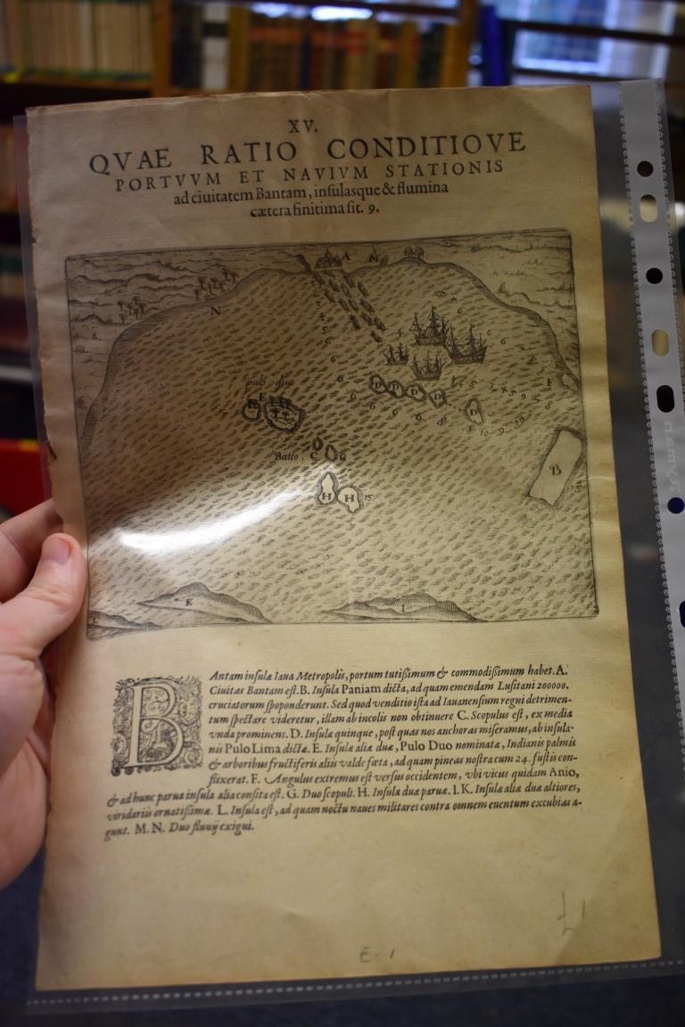
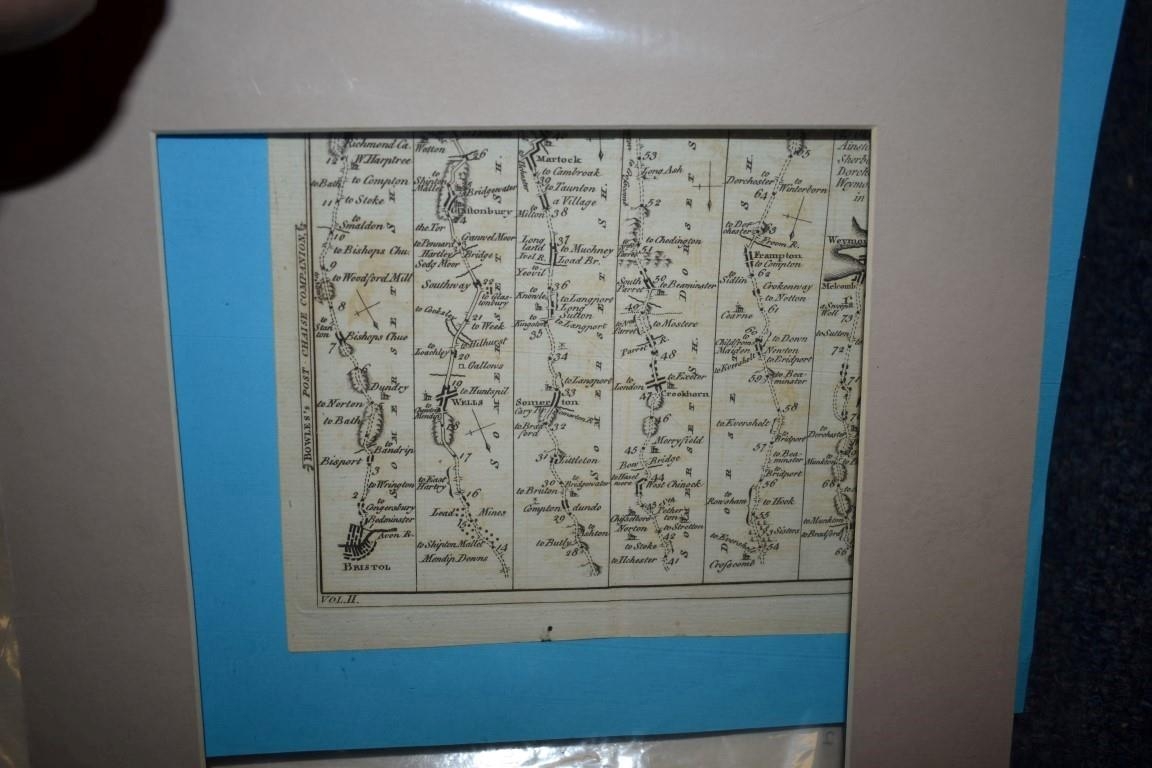
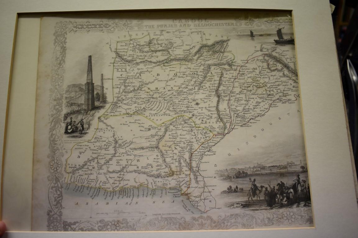
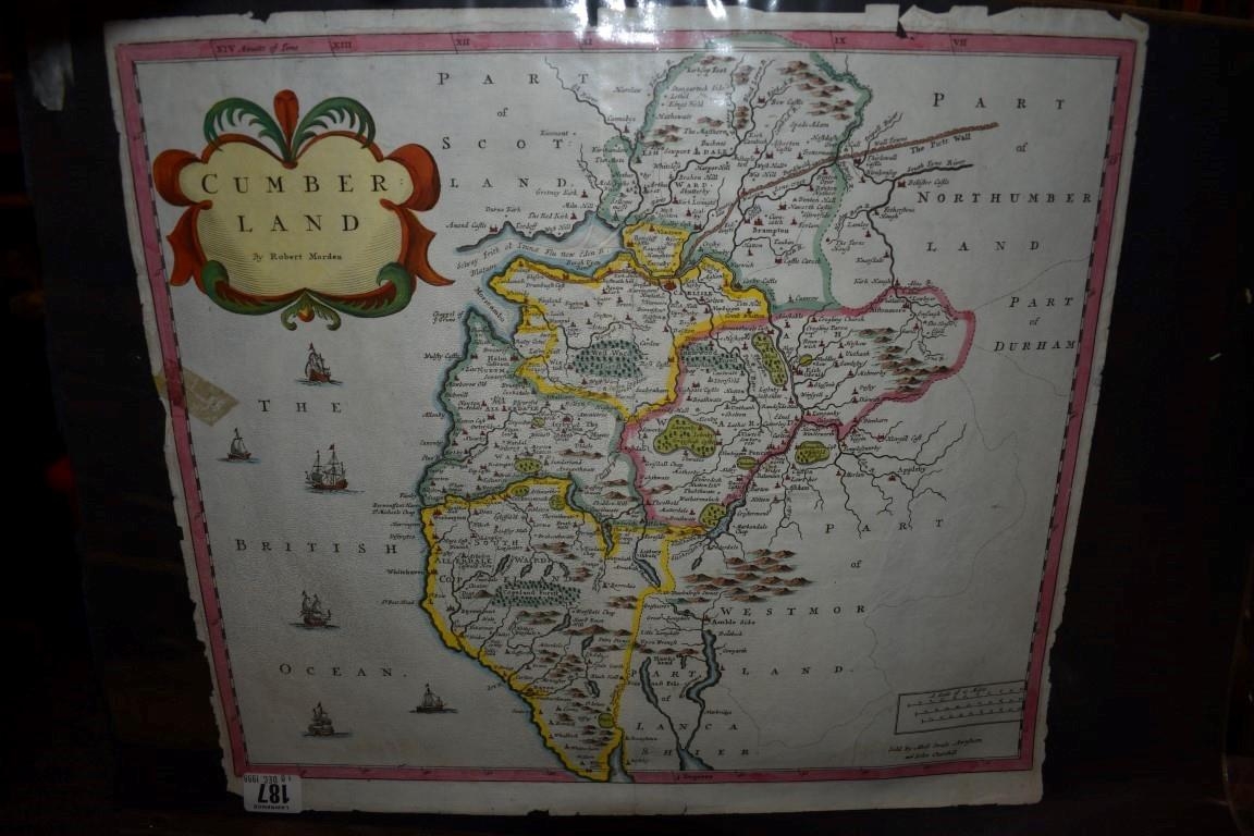
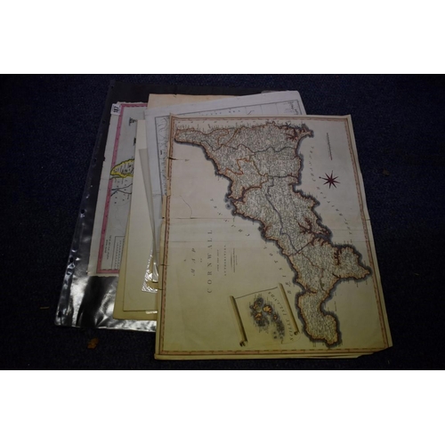
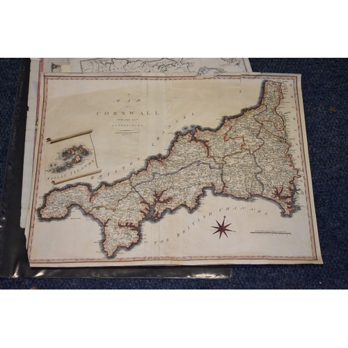
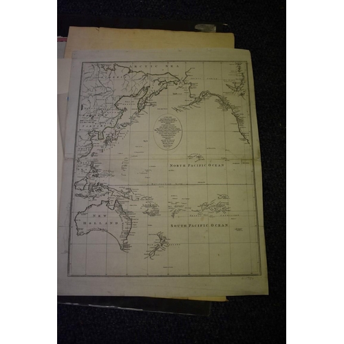
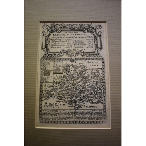
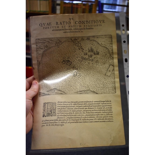
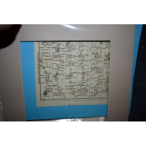
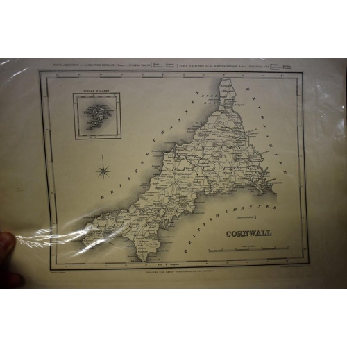
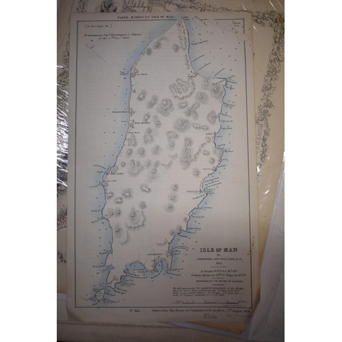
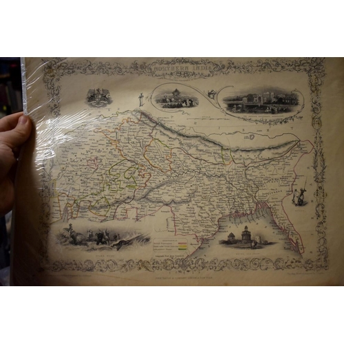
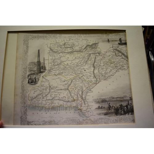
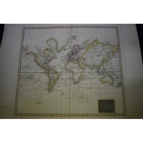
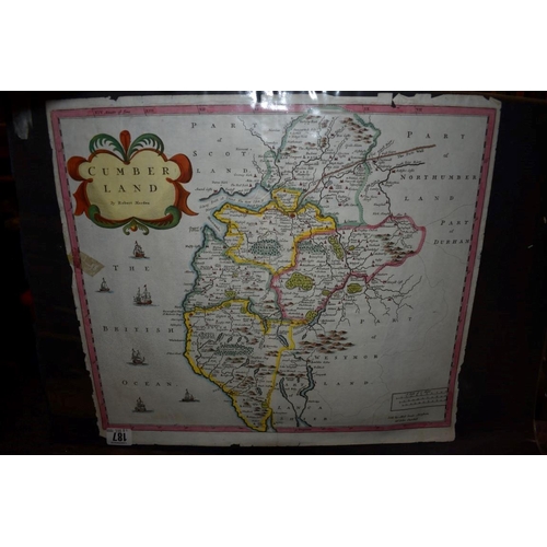
MAPS: collection of 11 miscellaneous maps, 17th-19th century, to include hand-coloured map of Cumberland by Robert Morden: 'Hydrographical Chart of The World on Wright or Mercator's Projection with tracts of the last circumnavigators', large double-page copper engraved map with contemp hand-colouring, early c19, long closed tear lower left: 'The Road from Bristol to Weymouth' by Bowen & Owen, circa 1720, uncoloured in modern window mount, and others. (11)
Fees apply to the hammer price:
Room and Absentee Bids:
21.60% inc VAT*
Online and Autobids:
25.2% inc VAT*